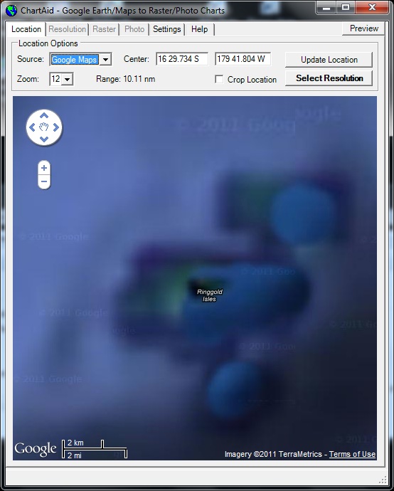
Google Maps
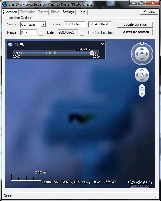
Google Earth Plugin
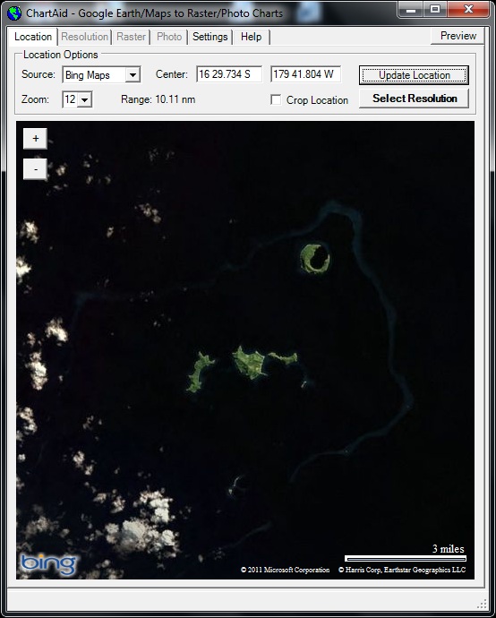
Bing Maps
10/17/2011
As a primary resource most ChartAid users will use the Google Earth and Google Maps interfaces. However, when the Google Earth and Google Maps images of a desired area are not to your liking you may be able to obtain a better image by using the Microsoft Bing Maps interface.
The Bing Maps interface allows you to access Microsoft's image database, which is different from Google's image database. Sometimes, for a given location, images in one database are better than in the other.
Shown in the example below are screen shots of the Location Window where the user has selected the Google Maps image, the Google Earth image and the Bing Maps image for the Yanuca Island area in Fiji.
Google Maps
|
Google Earth Plugin
|
Bing Maps
|
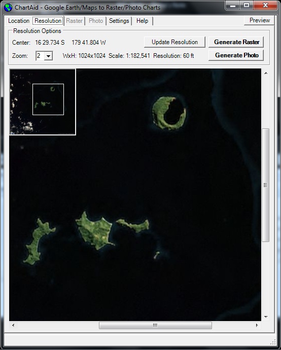
Shown in the example below is a screen shot of the Resolution Window after the user has zoomed in.
Home | Previous | Next