10/12/2011
ChartAid has the ability to capture images from the Google Earth Program. This interface allows the user to access special datasets and display features of the Google Earth Program and to use KML, KMZ and ETA data. The user can fine tune the image size and resolution by changing the Google Earth Program's display window size.
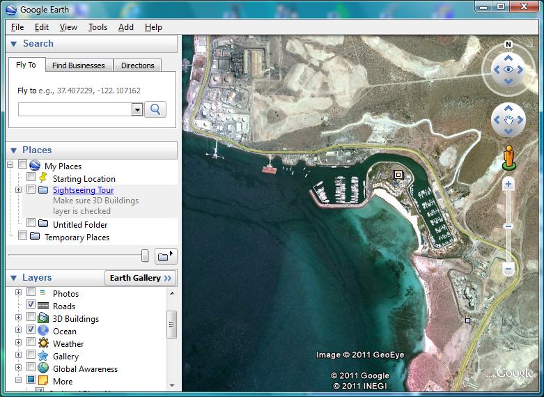
Shown in the example below is a screen shot from the Google Earth Program for the Costa Baja Marina area in La Paz, Mexico.
Using the Google Earth Program within ChartAid is a three step process:
Shown in the example below are screen shots of the ChartAid Location Window and Resolution Window.
ChartAid - Location Window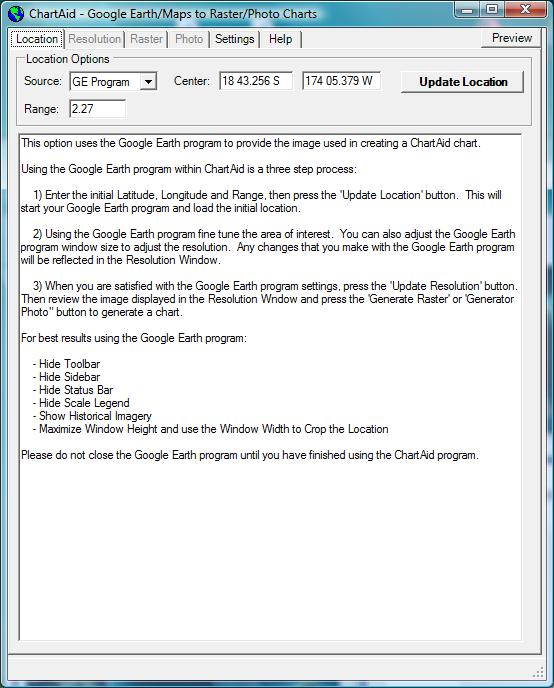
|
ChartAid - Resolution Window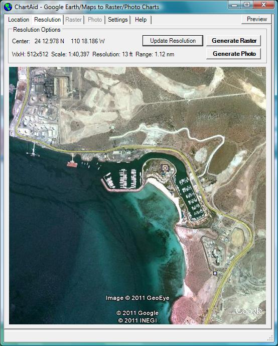
|
To use the Google Earth Program interface you will need to download the latest version of the "Google Earth Program". This program is available from Google free of charge.
Home | Previous | Next