Google Earth Plugin - Default Image
Google Earth Plugin - Historical Image
10/12/2011
As a primary resource most ChartAid users will use the Google Maps interface. However, when the Google Maps image of a desired area is obscured by cloud cover users can take advantage of Google Earth Plugin interface.
The Google Earth Plugin interface has the ability to select a particular image based on date using its historical imagery feature. That means that when cloud cover obscures a Google Maps image it is often possible to obtain a better image by selecting a different date.
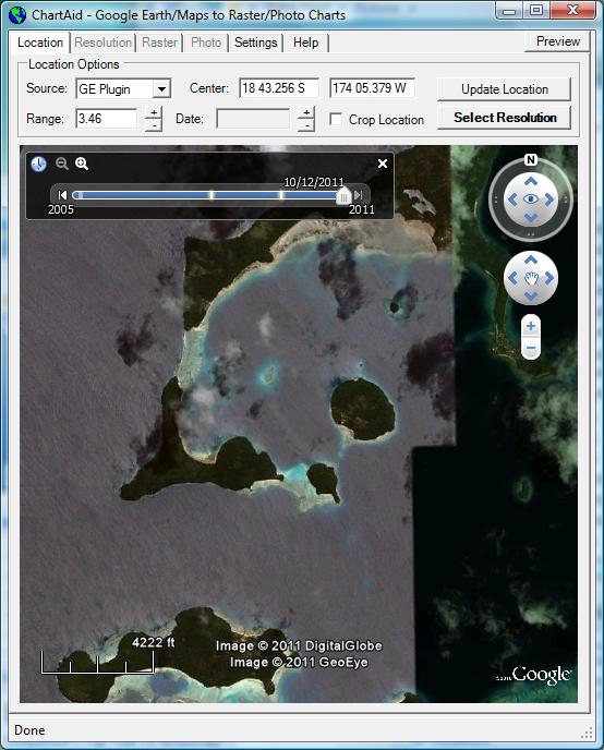
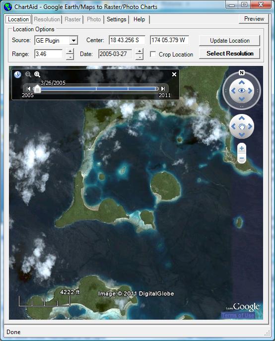
Shown in the example below are screen shots of the Location Window where the user has selected the default image and a historical image for the Vaka Eitu area in Vavau, Tonga.
Google Earth Plugin - Default Image
|
Google Earth Plugin - Historical Image
|
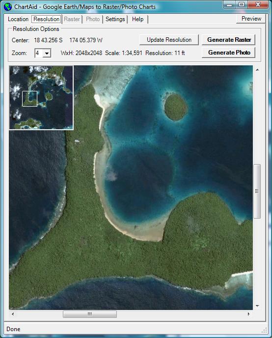
Shown in the example below is a screen shot of the Resolution Window after the user has zoomed the resolution to 11 feet. While there are still some cloud cover, the main bay is clearly visible.
To use the Google Earth Plugin interface you will need to download the latest version of the "Google Earth Plugin". This plugin is available from Google free of charge.
Windows XP users please note that the Google Earth Plugin provided by Google does not appear to work reliably under Windows XP. For example, on some configurations of Windows XP the Multiple Google Earths demonstration of the Google Earth Plugin provided by Google repeatedly reports that the Google Earth Plugin needs to be reinstalled. If you are using Windows XP and experiencing problems please use the Google Earth Program interface of ChartAid to obtain historical imagery.
Home | Previous | Next