6/18/2013
ChartAid - Different Printable Images
The ChartAid program supports Google Maps, Google Earth, Bing Maps and Nokia Maps printable images.
Five different interfaces are provided:
- Google Maps - A standard interface for Google Maps.
The chart size is limited to 4096 by 4096.
- Bing Maps - A standard interface for Bing Maps.
The chart size is limited to 4096 by 4096.
- Nokia Maps - A standard interface for Nokia Maps.
The chart size is limited to 4096 by 4096.
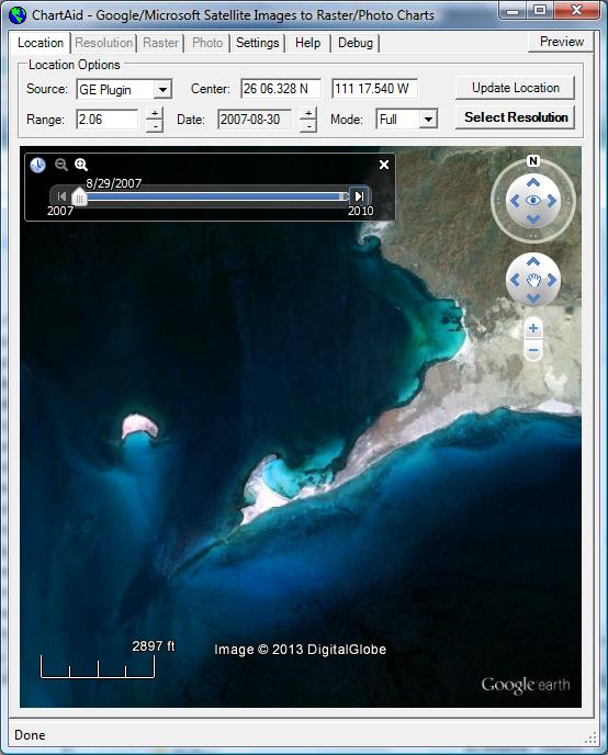
- Google Earth Plugin - An alternate
interface that allows the user to select from different historical images
using the Google Earth Plugin.
This interface is useful if the standard satellite image has cloud coverage that is
blocking your particular area of interest.
The charts size is limited to 4096 by 4096.
- Google Earth Program - An advanced interface
that allows the user to use images from the Google Earth Program.
This interface is useful if the user wants special datasets or display features
that are available with the Google Earth Program -
as an example, the ability to display KML, KMZ and ETA data.
The chart size is limited to your computer's screen size.
As a primary resource you may prefer to:
- 1st try Google Maps, this interface usually has the best
and newest Google satellite images.
If there is cloud coverage or the satellite image is not acceptable,
- 2nd try Bing Maps, if the image is still not acceptable,
- 3rd try Nokia Maps, if the image is still not acceptable,
- 4th try Google Earth Plugin, this interface allows you to select
from the different historical images that Google has for the area.
Because this interface is loading multiple historical images for the same area
it is often slower than the other interfaces.
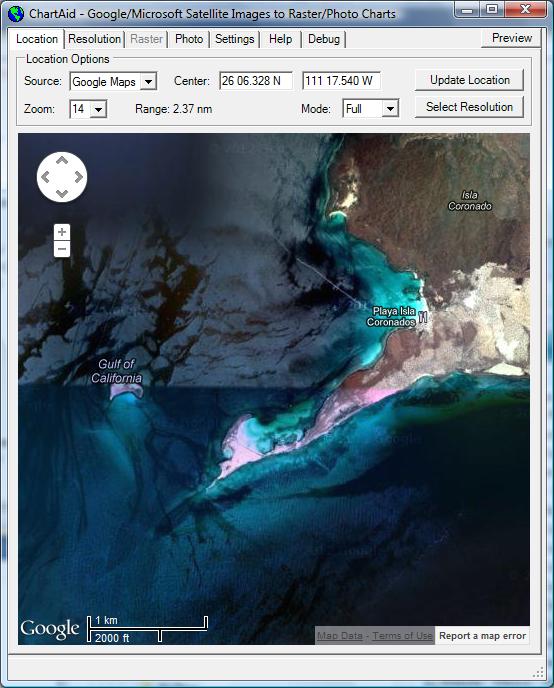
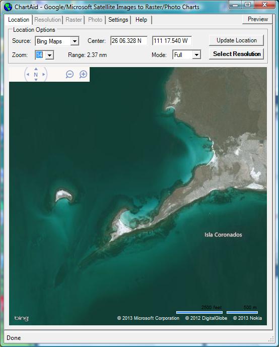
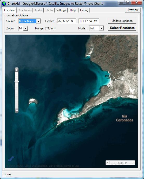
Shown in the example below are screen shots of the Location Window where the user has selected
the Google Maps, Bing Maps, Nokia Maps and Google Earth Plugin interface for the Isla Coronados area in Nexico.
Google Maps
|
Bing Maps
|
Nokia Maps
|
Google Earth Plugin
|
Home | Previous | Next